


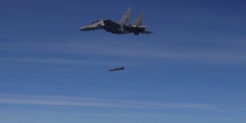


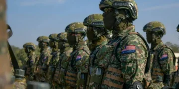
AI-powered satellite imagery provided by Chinese commercial companies is revealing operational details of U.S. military bases in the Middle East. Moreover, through the analysis of satellite images, the locations of military infrastructure and systems can be determined with high precision.

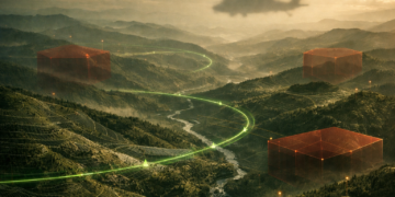
Data Analysis with Artificial Intelligence and Geospatial Intelligence
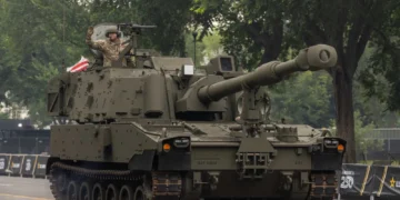
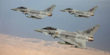
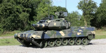
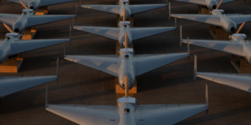
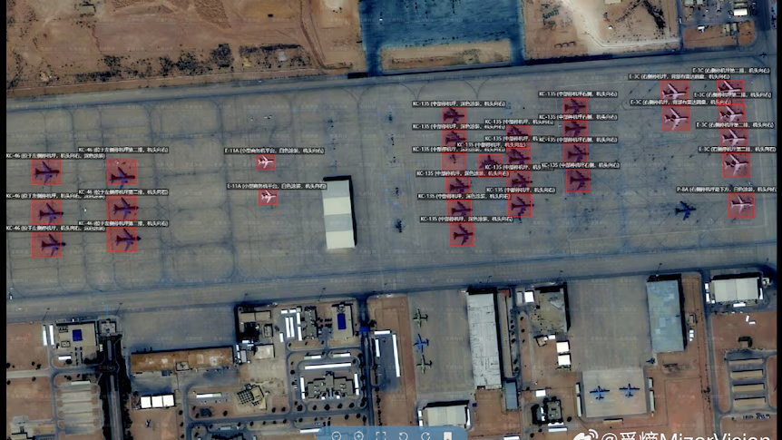
According to data published by ABC News and based on U.S. intelligence sources, satellite imagery obtained from commercial satellites is processed using advanced artificial intelligence algorithms. Furthermore, this technology—evaluated within the scope of geospatial intelligence (GEOINT)—enables the automatic detection of specific elements within military facilities. As a result of these analyses, the deployment of air defense systems can be digitally reported. In addition, the positions of aircraft on runways and aprons can also be documented in this way. Data regarding the overall infrastructure of bases can be documented with this method. Thanks to deep learning methods, the movement of military vehicles and equipment within massive datasets can be tracked in real time.
Access to Strategic Data and Regional Security Dynamics
U.S. officials note that the availability of such remote sensing technologies in the commercial market creates new challenges for military secrecy. They also state that the use of highly sensitive data by different actors in intelligence assessments could affect operational security in the Middle East. This development, particularly emphasized for its impact on targeting capabilities, demonstrates the growing role of commercial satellites in strategic intelligence. Experts also point out that the increasing resolution capacity of commercial satellite constellations is weakening the traditional monopoly of military intelligence. As a result, information obtained from satellite imagery plays a critical role in military planning processes.

The Impact of Commercial Satellites on Military Intelligence
Today, commercial satellite providers can offer not only optical images but also datasets capable of capturing imagery at night or in cloudy weather conditions. This creates an opportunity for continuous surveillance in strategic regions such as the Middle East. Additionally, these services are offered by China-based companies with AI integration. This necessitates the development of new security protocols in military planning and the protection of field assets. The increasing processability of commercial data directly affects the confidentiality of military movements in the region. Furthermore, satellite imagery provides innovative solutions for monitoring military activities.
Data Accessibility and Targeting Capability
According to the details in the report, these commercially obtained images enable not only the analysis of facility layouts but also logistical flows. In particular, the occupancy rates of ammunition depots and fuel resupply activities can be analyzed. Additionally, elements such as personnel movement within bases can be estimated using AI modeling. This situation is considered a factor that enhances the targeting capabilities of various actors in the region. Intelligence reports also indicate that the use of commercial technology technically supports asymmetric threat elements. Finally, analyses conducted using satellite imagery are expected to become even more influential in shaping regional military balances in the future.
Read more defence news
Source: C4Defence-ABC News


